By CQ
Last Wednesday, I tried to bike to the West Asheville Library to print out this map, but it was Veteran’s Day, so I had to wait a day.
I haphazardly threw up a few pages before last week’s Fire Friday, but something was keeping me from finishing this pretty simple task for the Rematriation Rebellion.
No, haters, it wasn’t procrastination or perfectionism. It just felt like an UGHHH task.
Then today, we submitted the Mozilla Human-AI Incubator application, all about community-driven projects. After I hit submit, I walked the dogs down Patton Avenue through the Goodwill parking lots and then hung a left onto School Road at the entrance of Asheville School as we sometimes do.
We did our loop, spotted three deer, and came home, my vigor for the map-hanging alive.
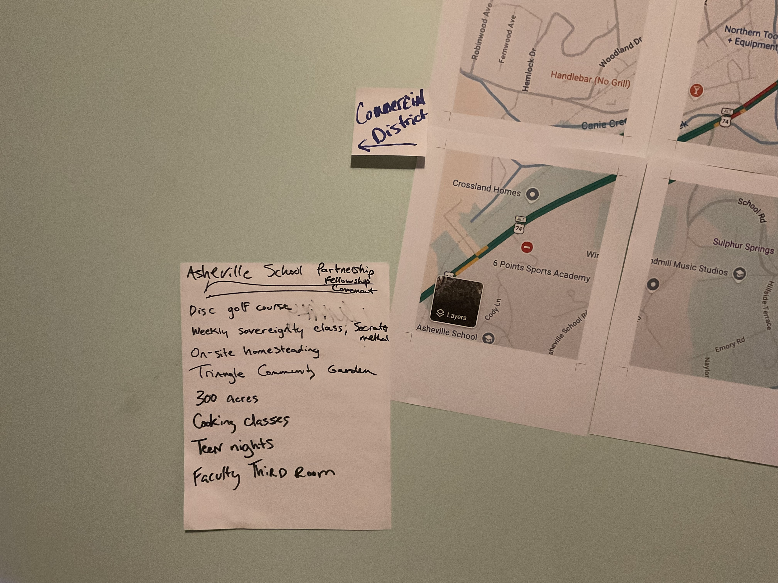
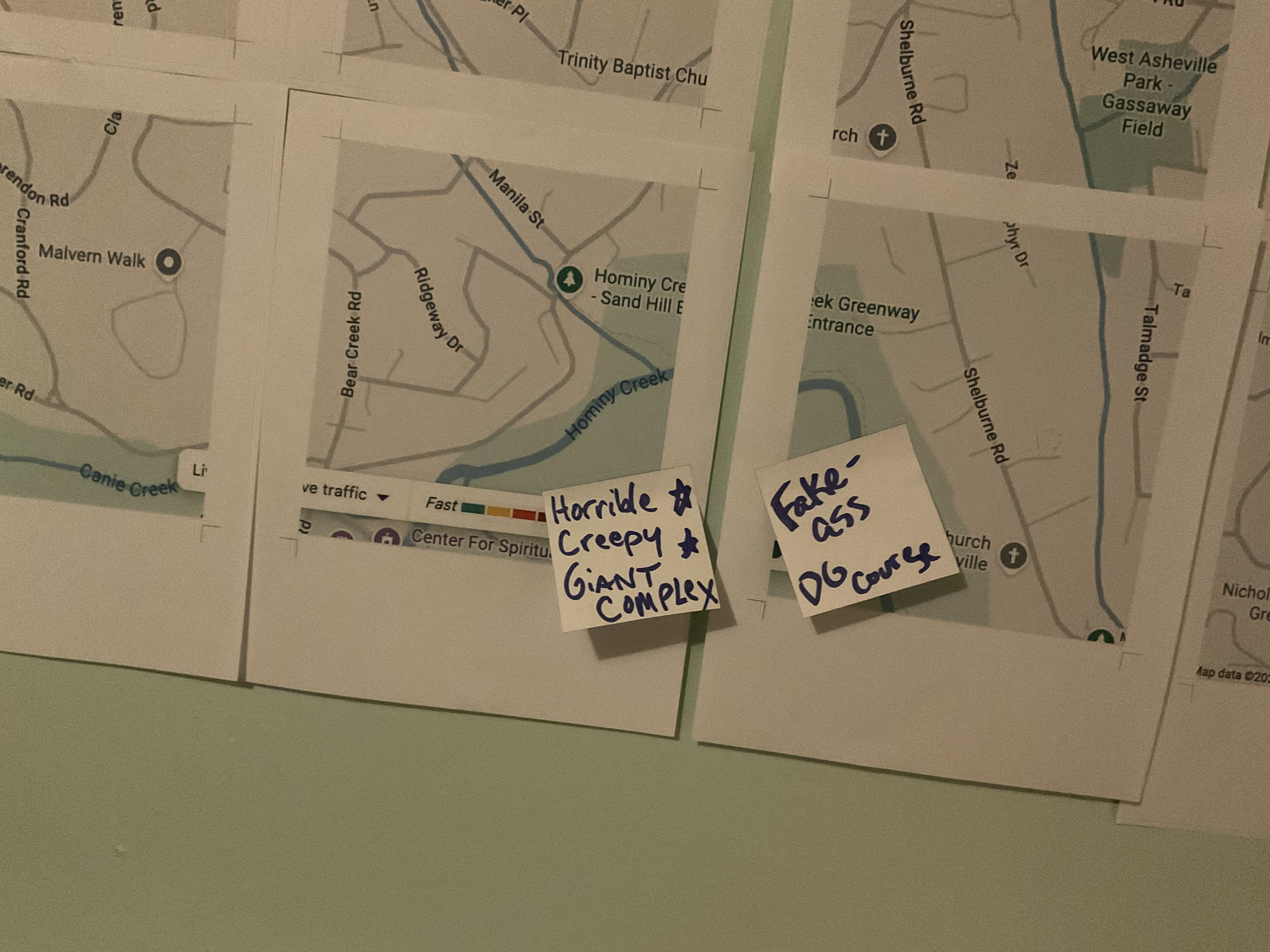
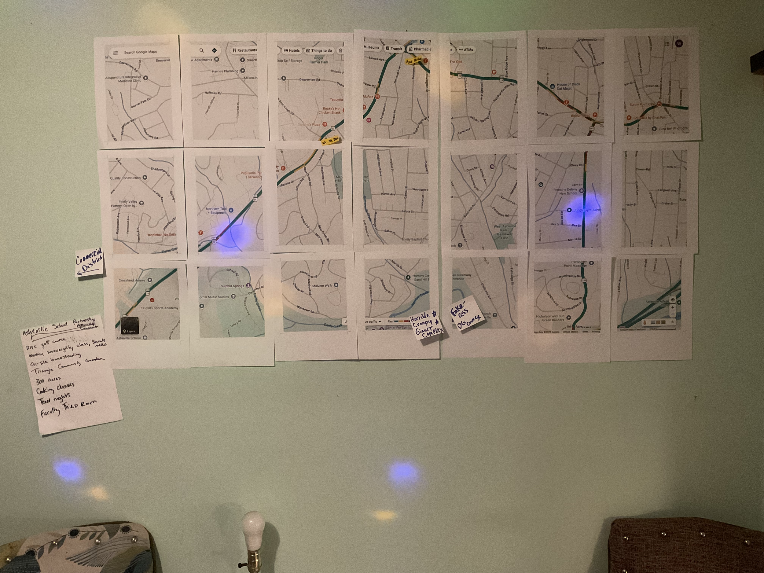
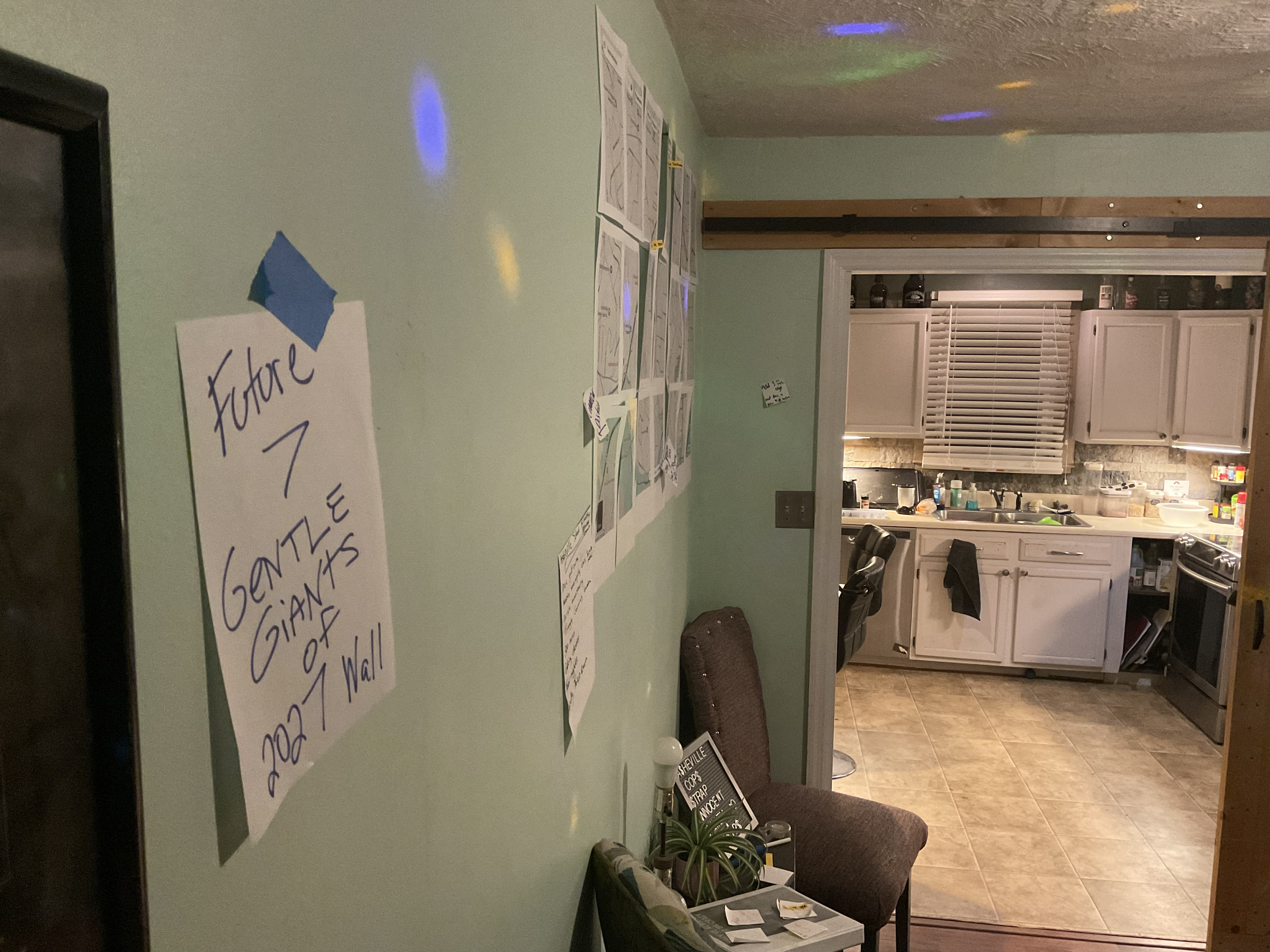
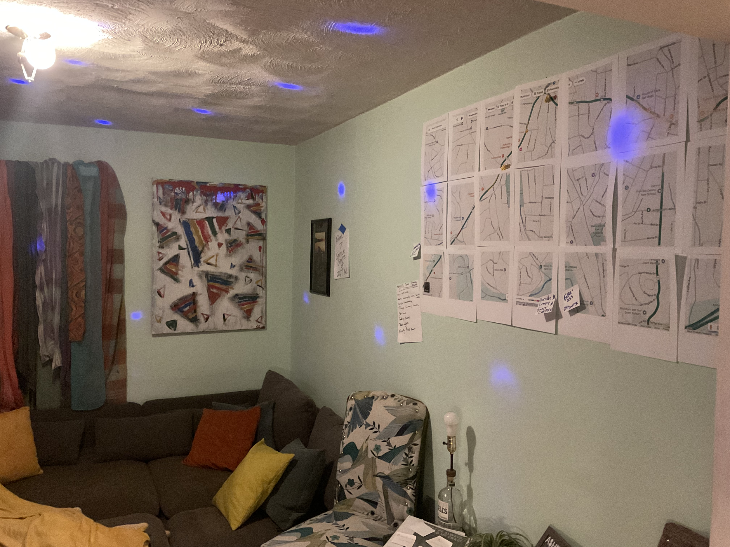
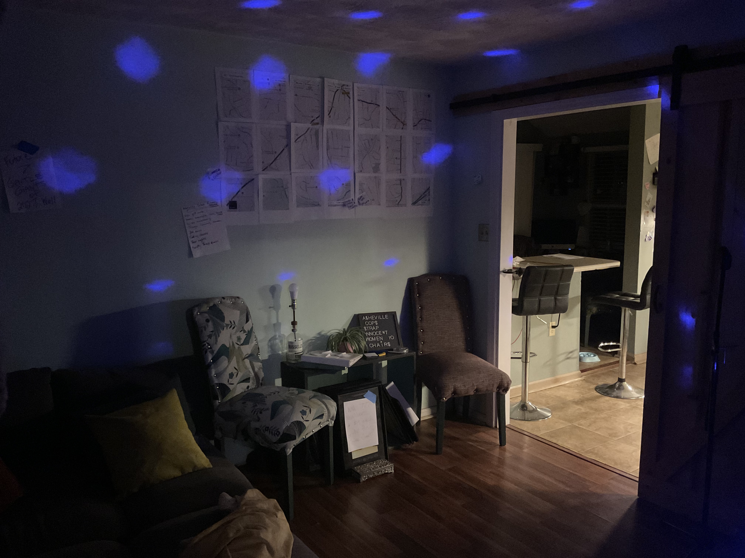
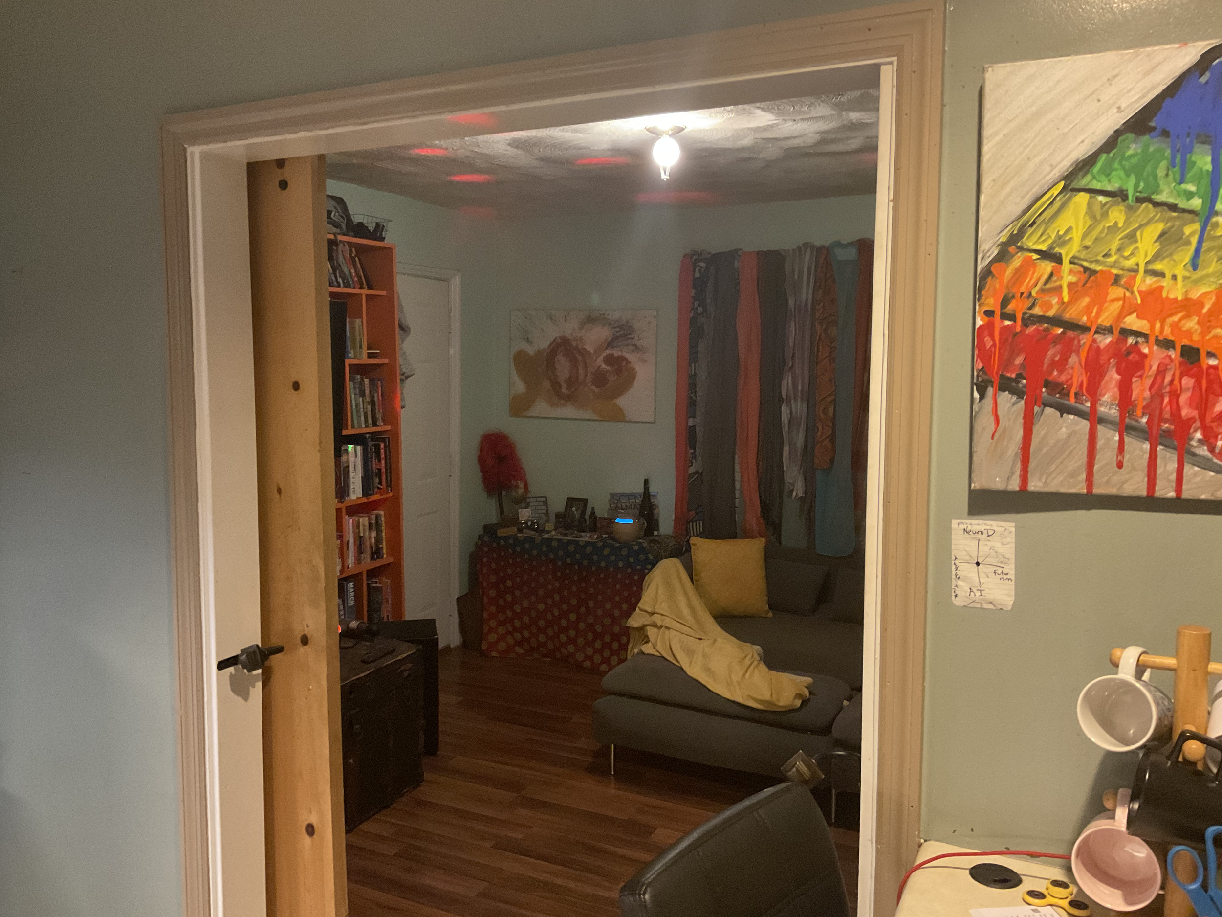
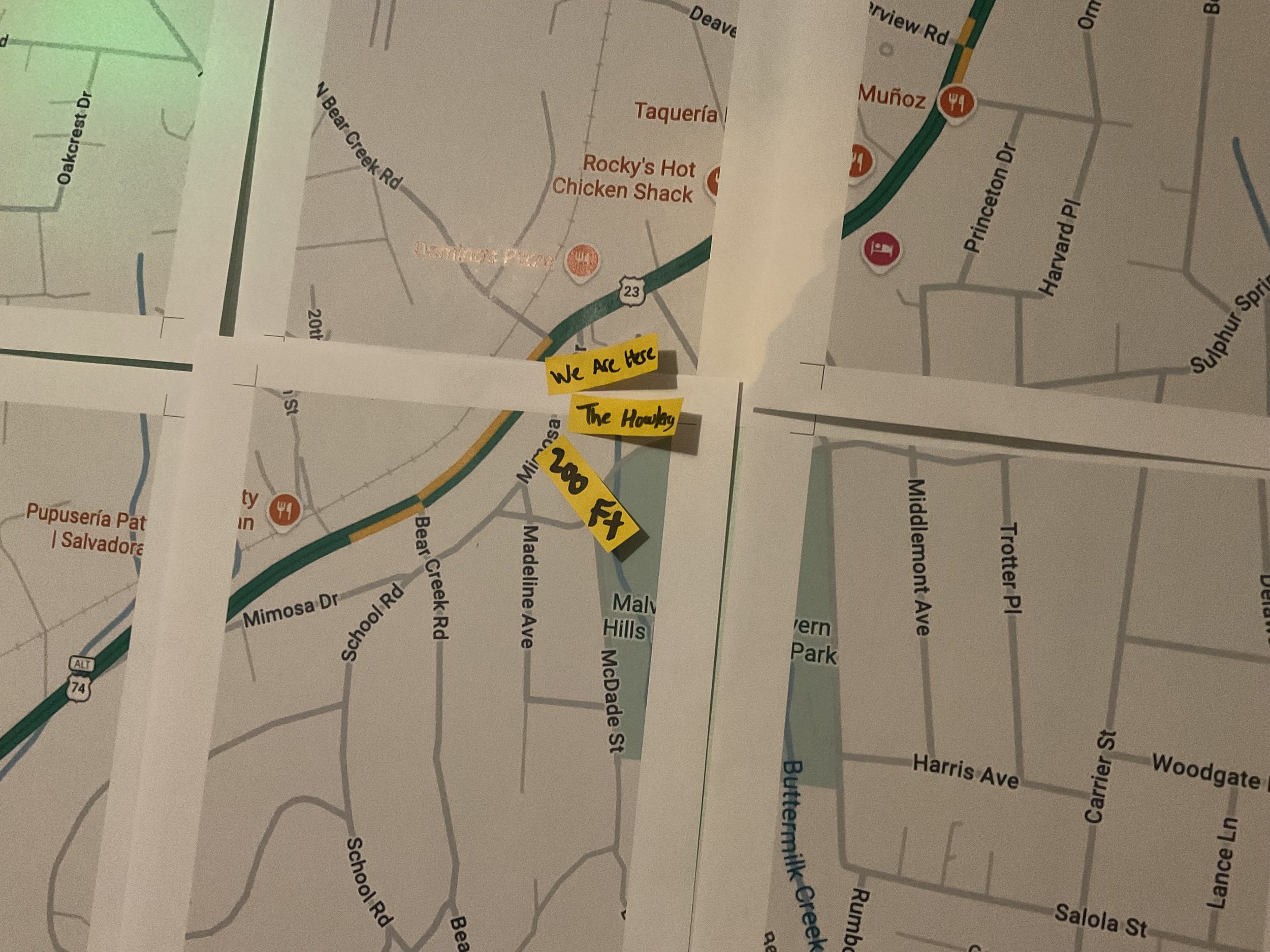
As you can see, Asheville School is sort of the anchor of the neighborhood, protecting us to the West from further development as a steward of what I believe is 300 acres.
This 101-year-old neighborhood is filled with sidewalks, has a huge park with a public pool (that the city has had closed for 5 years of who knows why), tennis/pickleball/basketball courts, and a playground. I can just peak at the park from my new microoffice WatchTower at Den #000.
So there is room for two more columns and one more row on my wall map. So my question, neighbors, is:
Should I expand our 90-Day Neighborhood Sovereignty Map, Study & Plan to the North, South, East or West?!?!?!
Let us know in the comments.